Review of Winter Weather 2018-2019
Each year, before we launch our winter forecast, we like to take a look back at the prior year's predictions. How did we do? Here are the highlights of winter 2018-19.
Quick Reference (Archive)
- What this is: A look back at the winter of 2018-2019 and how the Farmers’ Almanac long-range forecast performed.
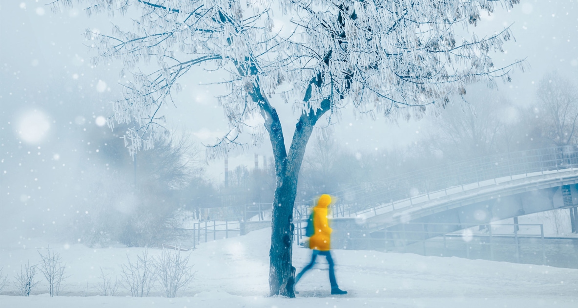
- Headline: Forecast called for “teeth-chattering cold” and snow across the Northeast, Pacific Northwest, and Mid-Atlantic. Reality matched closely.
- Coldest stretch: Late January Arctic blast. Chicago wind chill -52 F.
- Snow records: Eau Claire WI 53.7 in. (snowiest month ever), Caribou ME 165 in. winter total, Sea-Tac 20.2 in. February (snowiest since 1945).
- Statistical surprise: Despite the cold finish, meteorological winter averaged 1.2 F above normal because December and January were warm.
Every year, right before we launch our newest weather forecast for the winter ahead, we like to “rewind” and take a look back at last year. Our winter prediction for 2018-2019 brought about a lot of attention and controversy. In our long-range outlook, which we released in August 2018, we called for “teeth-chattering cold and unusually snowy and/or wet conditions across the Pacific Northwest, Northeast, and Mid-Atlantic States.” We forewarned that the coldest temperatures of the season would arrive in mid-February for zones 1, 2, and 3, and predicted a stormier-than-normal March, which would push snow totals to above normal for the northern/central Rockies and Plains.


So what happened? Here are some winter 2018-2019 highlights:
- A late January Arctic blast resulted in Chicago having subzero temperatures for 52 straight hours. No all-time records were broken in the Windy City, but the low temperature of -23 F was close to breaking the all-time record of -27 F. On January 29th, Chicago’s wind chill dipped to -52 F. That is some teeth-chattering cold.
- On January 31st, 2019, the all-time coldest record for Illinois was reported in Mt. Carroll at -38 F.
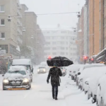
- February kicked off on a frigid note from Minnesota and Wisconsin east through the Great Lakes into upstate New York and across to New England. High temperatures were as much as 30 F colder than normal, and low temperatures were subzero or in the single digits for most areas. Strong winds created dangerously low wind chills, causing some schools to close.
- For the first time on record, Los Angeles went an entire February without once hitting 70 F. And the City of Angels registered this past February as its coldest month since 1962, with temperatures averaging about 5 degrees colder than normal.
- And the month of February across the contiguous U.S. averaged nearly 2 F below normal, ranking it in the coldest top third in 125 years of record keeping.
Snowfall?
- Caribou, Maine, had its snowiest January ever, with 59.8 inches, and 165 inches total for the winter months.
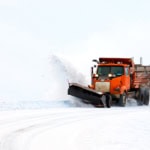
- Record snowfall and cold temperatures were reported from Washington State to Wisconsin in February. Eau Claire, Wisconsin, set a record for all-time snowiest month with 53.7 inches.
- Sea-Tac Airport (Seattle) saw its snowiest February (20.2 inches) since record-keeping first began in 1945.
- On February 20th, the first measurable snowfall (half an inch) in more than a decade fell in Las Vegas, Nevada. And the very next day, a total of 35.9 inches of snow was measured at Pulliam Airport (just south of Flagstaff, Arizona), a new 1-day record.
- Omaha, Nebraska, saw its all-time snowiest winter with 46.1 inches.
Statistically Speaking
Sounds like a pretty accurate forecast, does it not? You may be surprised to learn that climatologists have indicated that winter 2018-19 turned out to be slightly warmer (1.2 F) than normal, statistically speaking.
The reason? Taking into account the 90-day interval from December 1st to February 28th (defined as “meteorological winter”), the mean temperature was 33.4 F or 1.2 F above average. Yet, the last week of January through February, and into early March, temperatures averaged more than 2 F below normal nationwide. But overall, January was 2.6 F above normal, and December was 2.9 F above normal.
However, we would contend that the overall 1.2 F above-normal winter temperature was of little solace to the folks in the southeast U.S. who were digging out of their big pre-Christmas snowfall, or the folks around the Great Lakes and Plains who were enduring hours of subzero temperatures and life-threatening wind chills in late January.
2018-2019 Winter By the Numbers
| Stat | Value |
|---|---|
| Chicago coldest reading | -23 F |
| Chicago coldest wind chill | -52 F (Jan 29, 2019) |
| Illinois all-time low | -38 F at Mt. Carroll (Jan 31, 2019) |
| Caribou, ME winter total | 165 inches |
| Eau Claire, WI snowiest month | 53.7 inches |
| Omaha, NE all-time winter snow | 46.1 inches |
| Flagstaff, AZ 1-day record | 35.9 inches (Feb 21, 2019) |
The National Weather Service archives every U.S. station’s monthly summary, so you can pull the actual numbers for any station and any month back to the late 1800s.
What’s in Store for Winter 2019-2020?
Our winter weather outlook is out. Take a look at what we’re predicting.
For a complete look back, turn to pages 138-139 of the 2020 Farmers’ Almanac.

Frequently Asked Questions
Did the 2018-19 winter forecast verify?
Yes, qualitatively. The Almanac called for teeth-chattering cold across the Pacific Northwest, Northeast, and Mid-Atlantic. Each region got it. The headline late-January arctic blast across the Plains and Great Lakes lined up with the forecast window.
How can a “cold winter” finish above normal?
Because December and January 2018 averaged 2.6 to 2.9 F warmer than normal. The brutally cold late-January and February stretch was real, but it followed two warm months and was quickly offset by an above-average March.
What was the coldest temperature recorded?
-38 F at Mt. Carroll, Illinois on January 31, 2019. That is the all-time state record for Illinois.
Where did the most snow fall?
Caribou, Maine, finished with 165 inches across the season. Eau Claire, Wisconsin, set the all-time snowiest single-month record with 53.7 inches. Omaha, Nebraska, set its all-time winter total at 46.1 inches.
Was the West unusually cold?
Yes. Los Angeles went an entire February without reaching 70 F for the first time on record, and registered its coldest month since 1962. Sea-Tac saw its snowiest February since 1945, and Las Vegas got its first measurable snow in over a decade.
How does the Almanac forecast accuracy compare?
The Almanac claims 80 to 85% accuracy on its long-range forecast, based on regional temperature and precipitation patterns rather than specific daily values. Reviews like this one let readers see the verification for themselves.
Where can I see the verified data?
The National Weather Service archives monthly climate summaries for every U.S. station. The Pacific Northwest, Eau Claire, Caribou, and Mt. Carroll records cited above all appear in the official monthly bulletins for January and February 2019.
Tell Us
Where were you during the 2019 polar vortex? Tell us in the comments. For more historic-storm reads, see our historic blizzards and Great Blizzard of 1899 entries.


Caleb Weatherbee
Caleb Weatherbee is the official forecaster for the Farmers' Almanac. His name is actually a pseudonym that has been passed down through generations of Almanac prognosticators and has been used to conceal the true identity of the men and women behind our predictions.
- Caleb Weatherbee

- Caleb Weatherbee
- Caleb Weatherbee
- Caleb Weatherbee


I like it when it rains.
I’ve seen the Farmers Almanac Years ago. Maybe now I should get My own copy.
What is the weather going to be like in October on 2020
How often does the farmer almanac get the winter forecast right? This year they got it wrong for my area of the country.
Hi Ellie,
As for the accuracy, readers claim we’re accurate about 85% of the time, which we think is pretty good. Even the best miss one on occasion. Where are you located?
You were spot on for east Tennessee! Wet and cold.
how will the weather be in kentucky this winter?
Hi Willy, did you check the forecast and maps? There are also links to your zone: https://www.farmersalmanac.com/extended-forecast
What’s going happen in nc.
As a Marylander, I would like to know how Caleb did with forecasts in the Mid-Atlantic. This area seems to have been omitted. Thanks.
Hi Keith, Caleb says, “Last year’s forecast, which we released in August 2018, we called for ‘teeth-chattering cold and unusually snowy and/or wet conditions across the Pacific Northwest, Northeast, and Mid-Atlantic States.’ The Mid-Atlantic got its fair share of the snowy and wet conditions, with the first significant snows of the year on 1/13, followed by Winter Storm Patra on 1/20–the same system that brought snow to Las Vegas also dumped a fair amount of snow and ice on Maryland. In February, we called for snow for the Presidents Day holiday in Zone 1, and sure enough, this happened in MD: https://www.youtube.com/watch?v=poBssi0537A&t=10s.
All in all, the snowfall totals for last season in Maryland were 18.3 (January = 7.8, Feb = 6.1, and March = 2.7). Certainly not as bad as some years.”