Review Of Winter Weather 2023-2024
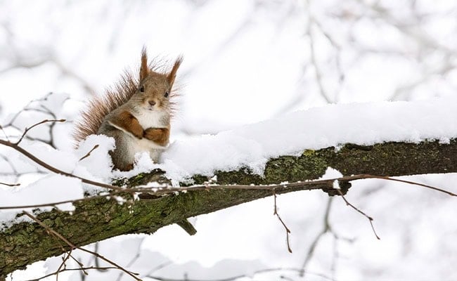
Winter weather 2023-2024, meteorologically speaking (December 2023-February 2024), ranked as the warmest on record for the contiguous US, with the average temperature hovering around 37.6°F, which is 5.4°F more than usual. North Dakota, Minnesota, Iowa, Wisconsin, Michigan, New York, Vermont, and New Hampshire all had their warmest winter on record, while an additional 26 states had one of their top-ten warmest winters.
Winter was also very wet. Total precipitation was 7.71 inches, nearly 1 inch (0.92 inches) above average. Connecticut and Delaware had their third-wettest winter season on record. However, winter precipitation was below average along the Northern Tier States (WA, OR, ID MT, ND, MN, MI, WI, IL, IN, OH) and in parts of the Great Lakes and Southwest, as well as small pockets of the Mississippi Valley and Maine.
Ice coverage across the Great Lakes reached record lows for much of January and February. By February 23, 2024, only 17% of the contiguous US was covered with snow—the lowest for any record of this day from satellite-derived data going as far back as 2004. Yet, heavy snowfall in January and February pushed California’s crucial Sierra watershed toward the 80% range by the end of February.
2023-2024 Farmers’ Almanac Winter Forecast Accuracy
Among all of the winter weirdness last year, which threw a curveball into our long-range outlook, the following Farmers’ Almanac winter 2023-2024 weather predictions were spot on:
- December 24-27, 2023: Our forecast called for heavy snow from Colorado east across the Plains in time for Christmas. A blizzard brought heavy snow, powerful winds, and life-threatening conditions to much of the High Plains on December 25-26, causing road closures and knocking out power to parts of the region.
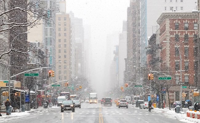
- January 12-15, 2024: We “red flagged” a surge of frigid arctic air that would spread from the Plains eastward into the Northeast part of the country, heralded and accompanied by heavy rains and snows. And during this timeframe, an arctic blast brought record-breaking cold and snow, with New York City recording their first significant snowfall in nearly two years.
- January 20-23, 2024: Our prediction was for rainy skies extending from the southern Rockies eastward through the Plains. And it was during this timeframe that powerful storms indeed brought heavy rainfall and flooding, with parts of Texas and Louisiana receiving more than a month’s worth of rain.
- Mid-February, 2024: Our winter forecast also pointed to a possible snow event for the Northeast in mid-February. Our prediction ended up being only a day or so too early for a heavy snowfall (6 to 12”) in the Northeast, as a nor’easter brought hefty snows on February 12-13, with some areas seeing their snowiest day in years.
- Late March, 2024: We warned of a significant storm developing along the Southeast US in the first weekend of spring, which we said would deposit rain and snow as it moved north. Indeed, spring was put on pause across upstate New York and central and northern New England as a potent storm with more wintry aspects trekked through the region, bringing enough precipitation and wind gusts to be rather disruptive. Parts of Vermont, New Hampshire, and Maine saw more than 2.5 feet of snowfall (33.1 inches for West Windsor, VT), while southeast New York and southern New England were hit with 2 to nearly 4 inches (3.84-inches for East Meadow, NY) of drenching rainfall.
Why Such a Strange Winter?
El Niño was largely responsible for last winter’s weather abnormalities. A periodic warming of the eastern tropical Pacific, El Niño tends to alter the normal jet stream pattern and usually results in lots of rain that is pushed into the coast of California.
Another major factor for all the moisture in the atmosphere is the undersea Tonga volcano eruption back in January 2022 that pumped 146 million tons of water vapor 10 to 20 miles into the stratosphere. This moisture might very well be stuck for several more years, contributing to a wetter world. Water vapor in the atmosphere also acts as a greenhouse gas that traps Earth’s infrared radiation, making it warmer overall
Drought Conditions
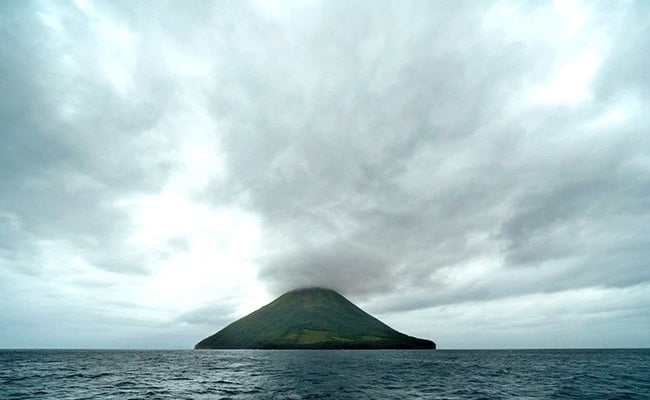
By the end of meteorological winter, about 21.6% of the contiguous US was in drought. This included expansions or intensifications in the Northern Tier, parts of the central and northern Mississippi Valley, the Southern Plains, and the Carolinas. Drought conditions lessened in the Southwest, Lower Mississippi Valley, parts of the Central Plains, and the Northern Rockies.
Looking Ahead
When the first edition of the Farmers’ Almanac rolled off the printing presses in 1818, most people relied on cues from nature to tell them what type of weather to expect. People living at that time spent more time outdoors, farming, fishing, and living. They took note of how specific clouds would foretell of a storm. They couldn’t tune into their local news or open an “app” to get the weather forecast for tomorrow or the weekend ahead. But they were able to consult their trustworthy Farmers’ Almanac, which provided weather outlooks more than 50 years before the National Weather Service was established.
We’ve come a long way since then, and we continue to be a primary source for a year’s worth of long-range weather predictions printed in one place. Our proprietary formula accounts for shifts and changes of all types and we proudly extend these helpful insights to you before any other publication or news outlet. Yet, we recognize and admit that nature will always have the final say.
Any questions? Contact questions@farmersalmanac.com

Caleb Weatherbee
Caleb Weatherbee is the official forecaster for the Farmers' Almanac. His name is actually a pseudonym that has been passed down through generations of Almanac prognosticators and has been used to conceal the true identity of the men and women behind our predictions.


